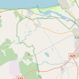
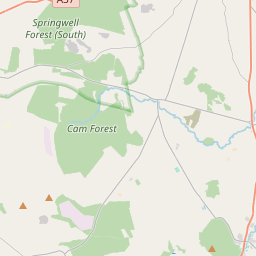
Based on data in OpenStreetMap, here is a list of townlands in the Electoral Division / ED / District Electoral Division of Articlave.
Articlave is in Co.
Articlave is not matched up to Logainm.ie yet.
Map
It is located at 55° 7' 36" N, 6° 46' 33" W.


Leaflet | Map data © OpenStreetMap contributors
Area
Articlave has an area of 22.9 km² / 5,665.4 acres / 8.9 square miles.
Townlands
There are 24 townlands that we know about in . This represents 100% of all the area in .
- Ardina 186 A, 2 R, 23 P
- Articlave Lower 195 A, 3 R, 29 P
- Articlave Upper 175 A, 2 R, 38 P
- Artidillon 95 A, 3 R, 19 P
- Ballymoney 113 A, 2 R, 7 P
- Ballystrone 375 A, 1 R, 33 P
- Ballywildrick Lower 208 A, 3 R, 3 P
- Ballywildrick Upper 271 A, 2 R, 7 P
- Ballywoolen 288 A, 0 R, 28 P
- Belgarrow 177 A, 3 R, 0 P
- Bogtown 196 A, 0 R, 20 P
- Carneety 92 A, 1 R, 20 P
- Dartress 430 A, 0 R, 32 P
- Dunalis Lower 145 A, 3 R, 21 P
- Dunalis Upper 172 A, 1 R, 35 P
- Exorna 91 A, 0 R, 16 P
- Formoyle 625 A, 0 R, 9 P
- Formullen 108 A, 3 R, 2 P
- Gortycavan 428 A, 0 R, 4 P
- Killyveety 128 A, 2 R, 37 P
- Knockmult 334 A, 3 R, 39 P
- Knocknogher 274 A, 1 R, 10 P
- Liffock 103 A, 0 R, 14 P
- Sconce 444 A, 3 R, 14 P
 OpenStreetMap
Articlave was added to OpenStreetMap on 5 Mar 2021 by b-unicycling.
- View
- Edit

 JOSM
JOSM iD
iD