Based on data in OpenStreetMap, here is a list of townlands in the Electoral Division / ED / District Electoral Division of Bondsglen.
Bondsglen is in Co.
Bondsglen is not matched up to Logainm.ie yet.
Map
It is located at 54° 54' 46" N, 7° 13' 5" W.
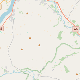
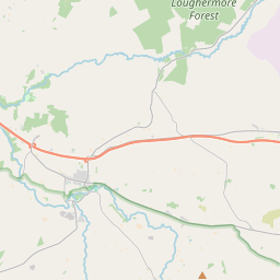
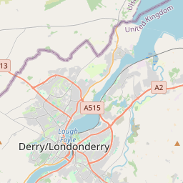
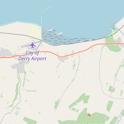
Leaflet | Map data © OpenStreetMap contributors
Area
Bondsglen has an area of 28.3 km² / 6,987.5 acres / 10.9 square miles.
Townlands
There are 15 townlands that we know about in . This represents 100% of all the area in .
- Ardground 374 A, 2 R, 6 P
- Ballyartan 790 A, 1 R, 26 P
- Ballycallaghan 300 A, 3 R, 34 P
- Brackfield 435 A, 0 R, 18 P
- Glenlough 660 A, 2 R, 34 P
- Gortnaran 212 A, 0 R, 9 P
- Gortnaskey 529 A, 3 R, 17 P
- Kilcaltan 351 A, 3 R, 13 P
- Kildoag 756 A, 3 R, 19 P
- Killaloo 279 A, 0 R, 0 P
- Lackagh 630 A, 2 R, 0 P
- Legaghory 582 A, 1 R, 32 P
- Lettermire 415 A, 2 R, 16 P
- Raspberry Hill 166 A, 1 R, 17 P
- Toneduff 501 A, 0 R, 37 P
 OpenStreetMap
Bondsglen was added to OpenStreetMap on 5 Mar 2021 by b-unicycling.
- View
- Edit