Based on data in OpenStreetMap, here is a list of townlands in the Electoral Division / ED / District Electoral Division of Garvagh.
Garvagh is in Co.
Garvagh is not matched up to Logainm.ie yet.
Map
It is located at 54° 59' 3" N, 6° 40' 25" W.
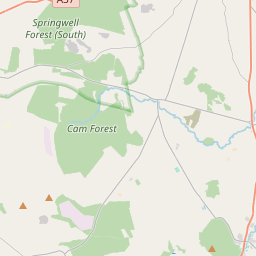
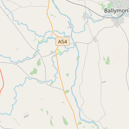
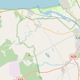
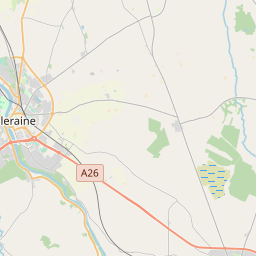
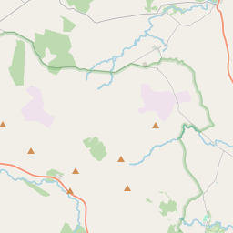
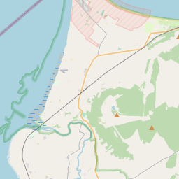
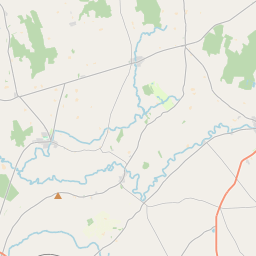
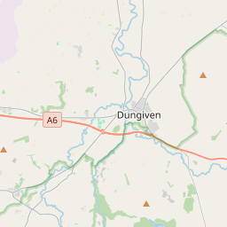
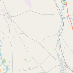
Leaflet | Map data © OpenStreetMap contributors
Area
Garvagh has an area of 25.2 km² / 6,235.3 acres / 9.7 square miles.
Townlands
There are 16 townlands that we know about in . This represents 100% of all the area in .
- Ballyagan 519 A, 0 R, 26 P
- Ballynameen 329 A, 1 R, 26 P
- Bellury 507 A, 2 R, 39 P
- Cah 821 A, 3 R, 17 P
- Carrowreagh 65 A, 0 R, 21 P
- Edenbane 152 A, 2 R, 22 P
- Garvagh 837 A, 1 R, 22 P
- Gort 7 A, 0 R, 24 P
- Inshaleen 486 A, 3 R, 24 P
- Killyvally 488 A, 1 R, 11 P
- Kurin 458 A, 1 R, 33 P
- Mettican Glebe 372 A, 3 R, 25 P
- Moyletra Kill 515 A, 2 R, 7 P
- Tamnymore 346 A, 0 R, 10 P
- Trienaltenagh 290 A, 3 R, 35 P
- Twenty Acres 35 A, 2 R, 17 P
 OpenStreetMap
Garvagh was added to OpenStreetMap on 5 Mar 2021 by b-unicycling.
- View
- Edit