Based on data in OpenStreetMap, here is a list of townlands in the Electoral Division / ED / District Electoral Division of Letterloan.
Letterloan is in Co.
Letterloan is not matched up to Logainm.ie yet.
Map
It is located at 55° 4' 34" N, 6° 45' 37" W.
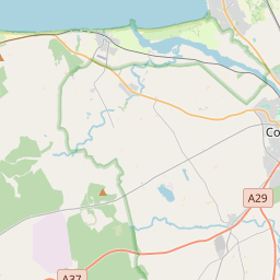
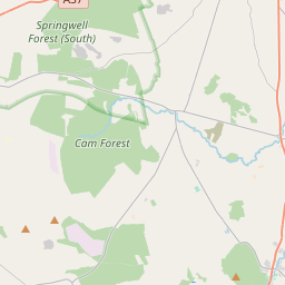
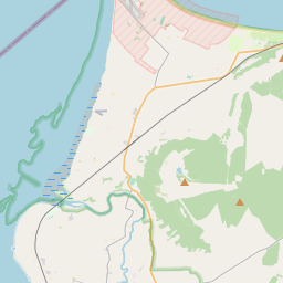
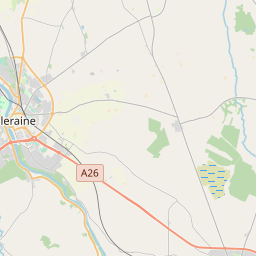
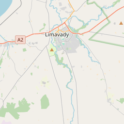
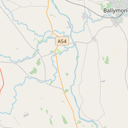
Leaflet | Map data © OpenStreetMap contributors
Area
Letterloan has an area of 31.2 km² / 7,717.2 acres / 12.1 square miles.
Townlands
There are 12 townlands that we know about in . This represents 100% of all the area in .
- Ballinrees 594 A, 3 R, 15 P
- Ballynacanon 342 A, 1 R, 10 P
- Cam 1470 A, 3 R, 25 P
- Cashel 343 A, 0 R, 30 P
- Croaghan 1142 A, 2 R, 7 P
- Crossmakeever 321 A, 0 R, 17 P
- Leck 294 A, 0 R, 39 P
- Letterloan 548 A, 0 R, 37 P
- Lower Balteagh 554 A, 2 R, 23 P
- Lower Kiltinny 546 A, 2 R, 21 P
- Upper Balteagh 900 A, 0 R, 22 P
- Upper Kiltinny 658 A, 1 R, 13 P
 OpenStreetMap
Letterloan was added to OpenStreetMap on 5 Mar 2021 by b-unicycling.
- View
- Edit