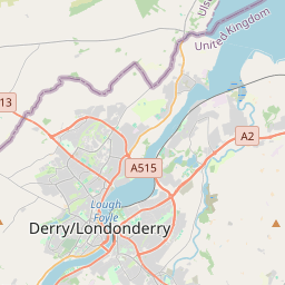
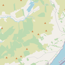
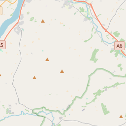
Based on data in OpenStreetMap, here is a list of townlands in the Electoral Division / ED / District Electoral Division of Lough Enagh.
Lough Enagh is in Co.
Lough Enagh is not matched up to Logainm.ie yet.
Map
It is located at 55° 0' 39" N, 7° 14' 27" W.


Leaflet | Map data © OpenStreetMap contributors
Area
Lough Enagh has an area of 27.4 km² / 6,760.6 acres / 10.6 square miles.
Townlands
There are 26 townlands that we know about in . This represents 100% of all the area in .
- Ardnaguniog 387 A, 0 R, 33 P
- Avish 145 A, 2 R, 11 P
- Ballyoan 296 A, 3 R, 3 P
- Carn 165 A, 1 R, 13 P
- Carrakeel 378 A, 1 R, 37 P
- Cloghole 173 A, 2 R, 36 P
- Coolkeeragh 569 A, 2 R, 11 P
- Edenreagh Beg 221 A, 1 R, 26 P
- Edenreagh More 247 A, 1 R, 25 P
- Enagh 152 A, 0 R, 7 P
- Gorticross 469 A, 3 R, 10 P
- Gortnessy 723 A, 3 R, 14 P
- Gortree 332 A, 2 R, 33 P
- Gransha 317 A, 2 R, 16 P
- Greenan 150 A, 1 R, 17 P
- Kilnappy 203 A, 0 R, 18 P
- Ligg 140 A, 1 R, 39 P
- Lissahawley 198 A, 0 R, 30 P
- Managh Beg 122 A, 2 R, 5 P
- Managh More 105 A, 3 R, 8 P
- Maydown 163 A, 2 R, 9 P
- Mobuoy 417 A, 3 R, 36 P
- Stradreagh Beg 54 A, 0 R, 11 P
- Stradreagh More 135 A, 3 R, 32 P
- Templetown 184 A, 0 R, 4 P
- Tirbracken 302 A, 3 R, 35 P
 OpenStreetMap
Lough Enagh was added to OpenStreetMap on 6 Mar 2021 by b-unicycling.
- View
- Edit

 JOSM
JOSM iD
iD