Based on data in OpenStreetMap, here is a list of townlands in the Electoral Division / ED / District Electoral Division of Moneymore.
Moneymore is in Co.
Moneymore is not matched up to Logainm.ie yet.
Map
It is located at 54° 41' 43" N, 6° 40' 37" W.
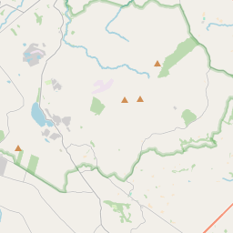
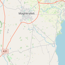
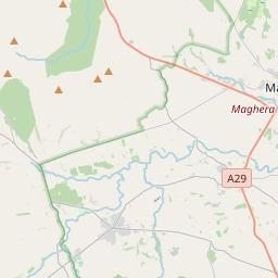
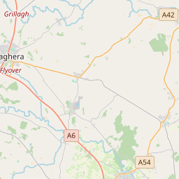
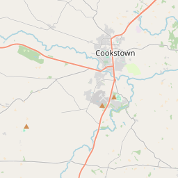

Leaflet | Map data © OpenStreetMap contributors
Area
Moneymore has an area of 16.1 km² / 3,970.6 acres / 6.2 square miles.
Townlands
There are 15 townlands that we know about in . This represents 100% of all the area in .
- Ballygruby 614 A, 0 R, 20 P
- Ballymully 343 A, 3 R, 4 P
- Carrydarragh 365 A, 0 R, 11 P
- Coltrim 463 A, 0 R, 29 P
- Crossnarea 168 A, 2 R, 36 P
- Doluskey 130 A, 0 R, 15 P
- Drummeen 83 A, 3 R, 21 P
- Drummeen (Drapers) 161 A, 0 R, 0 P
- Feenan Beg 32 A, 0 R, 8 P
- Feenan More 111 A, 1 R, 14 P
- Larrycormick 396 A, 2 R, 15 P
- Magherascullion 327 A, 2 R, 34 P
- Moneymore 245 A, 3 R, 11 P
- Moneymore 281 A, 1 R, 2 P
- Turnaface 245 A, 3 R, 24 P
 OpenStreetMap
Moneymore was added to OpenStreetMap on 6 Mar 2021 by b-unicycling.
- View
- Edit