Based on data in OpenStreetMap, here is a list of townlands in the Electoral Division / ED / District Electoral Division of Breanrisk.
Breanrisk is in Co.
Breanrisk is not matched up to Logainm.ie yet.
Map
It is located at 53° 47' 57" N, 7° 47' 57" W.
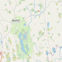
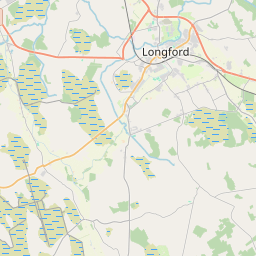
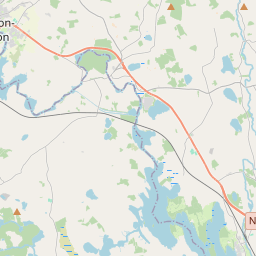
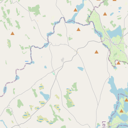
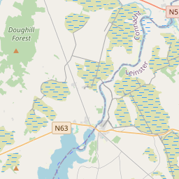
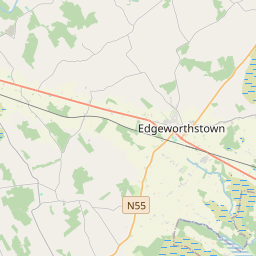
Leaflet | Map data © OpenStreetMap contributors
Area
Breanrisk has an area of 20.2 km² / 4,997.2 acres / 7.8 square miles.
Townlands
There are 16 townlands that we know about in . This represents 100% of all the area in .
- Aghnamaddoo 200 A, 3 R, 7 P
- Ballincurry 159 A, 0 R, 3 P
- Bawn 381 A, 0 R, 29 P
- Breanrisk 264 A, 2 R, 18 P
- Carrickmoyragh 377 A, 1 R, 33 P
- Cartrongar 52 A, 0 R, 15 P
- Cloonagh 676 A, 3 R, 17 P
- Cloonellan 396 A, 2 R, 4 P
- Cloonmacart 426 A, 1 R, 10 P
- Cloontagh 327 A, 3 R, 13 P
- Corrabaun 200 A, 2 R, 24 P
- Currygranny 426 A, 0 R, 26 P
- Derrynacrit 115 A, 3 R, 33 P
- Kilnashee 273 A, 0 R, 31 P
- Leitrim 449 A, 1 R, 21 P
- Prucklish 269 A, 0 R, 25 P
 OpenStreetMap
Breanrisk was added to OpenStreetMap on 9 Jul 2013 by PaddyMatthews.
- View
- Edit