Based on data in OpenStreetMap, here is a list of townlands in the Electoral Division / ED / District Electoral Division of Cappaghduff.
Cappaghduff is in Co.
Cappaghduff is not matched up to Logainm.ie yet.
Map
It is located at 53° 39' 30" N, 9° 24' 1" W.
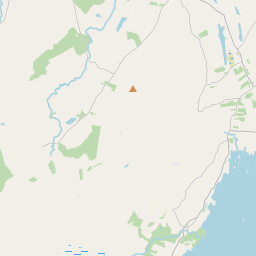
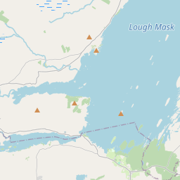
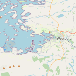
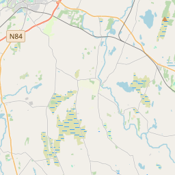
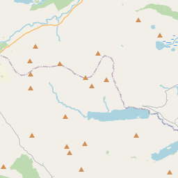

Leaflet | Map data © OpenStreetMap contributors
Area
Cappaghduff has an area of 47.6 km² / 11,758.1 acres / 18.4 square miles.
Townlands
There are 14 townlands that we know about in . This represents 75.8% of all the area in .
- Ballybanaun Mountain 426 A, 0 R, 34 P
- Cappaghduff East 405 A, 2 R, 39 P
- Cappaghduff West 522 A, 3 R, 8 P
- Carheen 208 A, 3 R, 22 P
- Derryveeny 1307 A, 0 R, 22 P
- Drumcoggy Mountain 874 A, 0 R, 33 P
- Glenmask 1892 A, 3 R, 5 P
- Glennagashleeny 969 A, 2 R, 22 P
- Gorteenmore 192 A, 2 R, 3 P
- Gortfree 320 A, 3 R, 1 P
- Toormakeady East 233 A, 0 R, 22 P
- Toormakeady Mountain 993 A, 1 R, 3 P
- Toormakeady West 152 A, 1 R, 39 P
- Treanlaur 414 A, 2 R, 9 P
 OpenStreetMap
Cappaghduff was added to OpenStreetMap on 10 Dec 2016 by Boggedy.
- View
- Edit