Based on data in OpenStreetMap, here is a list of townlands in the Electoral Division / ED / District Electoral Division of Kiltamagh.
Kiltamagh is in Co.
Kiltamagh is not matched up to Logainm.ie yet.
Map
It is located at 53° 50' 35" N, 8° 58' 58" W.
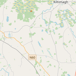
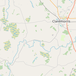
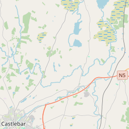
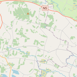
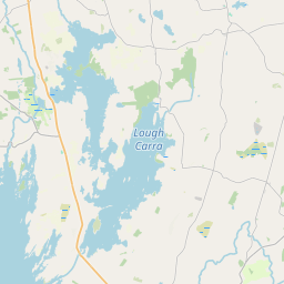
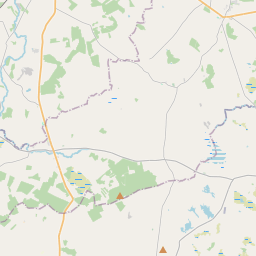
Leaflet | Map data © OpenStreetMap contributors
Area
Kiltamagh has an area of 18.9 km² / 4,674.9 acres / 7.3 square miles.
Townlands
There are 15 townlands that we know about in . This represents 100% of all the area in .
- Attavally 108 A, 1 R, 21 P
- Canbrack 265 A, 3 R, 21 P
- Carrick 421 A, 1 R, 8 P
- Carrownageeragh 232 A, 3 R, 24 P
- Carrowreagh 937 A, 0 R, 5 P
- Cordarragh 374 A, 2 R, 19 P
- Corrahoor 199 A, 0 R, 6 P
- Cuilgar 49 A, 0 R, 32 P
- Cuiltrasna 263 A, 2 R, 18 P
- Derrykinlough 504 A, 3 R, 32 P
- Devleash 124 A, 3 R, 8 P
- Gortgarve 149 A, 3 R, 24 P
- Gowelboy 212 A, 1 R, 26 P
- Kiltimagh 278 A, 3 R, 11 P
- Woods 552 A, 0 R, 6 P
 OpenStreetMap
Kiltamagh was added to OpenStreetMap on 25 Jan 2017 by OscarBrownbread.
- View
- Edit