Based on data in OpenStreetMap, here is a list of townlands in the Electoral Division / ED / District Electoral Division of Murneen.
Murneen is in Co.
Murneen is not matched up to Logainm.ie yet.
Map
It is located at 53° 47' 32" N, 8° 59' 49" W.
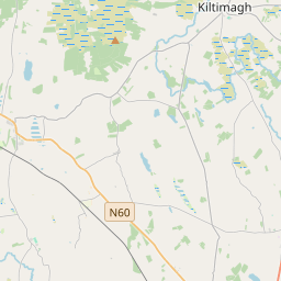
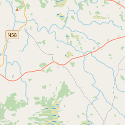
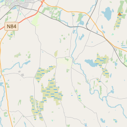
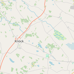
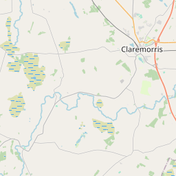
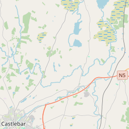
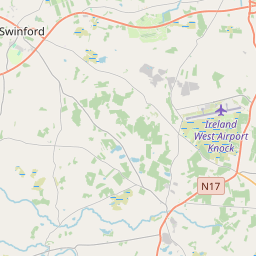
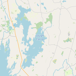
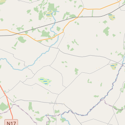
Leaflet | Map data © OpenStreetMap contributors
Area
Murneen has an area of 23.8 km² / 5,879.0 acres / 9.2 square miles.
Townlands
There are 14 townlands that we know about in . This represents 100% of all the area in .
- Ballinphuill 123 A, 3 R, 18 P
- Ballintaffy 638 A, 1 R, 14 P
- Ballynabrehon South 318 A, 1 R, 0 P
- Cloonmore Lower 397 A, 3 R, 8 P
- Cloonmore Upper 355 A, 3 R, 11 P
- Coolaght 451 A, 0 R, 14 P
- Cuiltybo 668 A, 2 R, 36 P
- Curneen 300 A, 0 R, 26 P
- Mace Lower 505 A, 2 R, 36 P
- Mace Middle 375 A, 1 R, 30 P
- Mace Upper 355 A, 0 R, 9 P
- Murneen North 736 A, 0 R, 5 P
- Murneen South 394 A, 2 R, 7 P
- Tawnaghlahard 258 A, 0 R, 13 P
 OpenStreetMap
Murneen was added to OpenStreetMap on 19 Jan 2017 by OscarBrownbread.
- View
- Edit