Based on data in OpenStreetMap, here is a list of townlands in the Electoral Division / ED / District Electoral Division of Burry.
Burry is in Co.
Burry is not matched up to Logainm.ie yet.
Map
It is located at 53° 42' 3" N, 6° 55' 48" W.
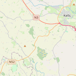

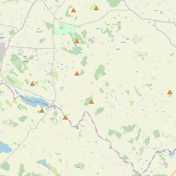
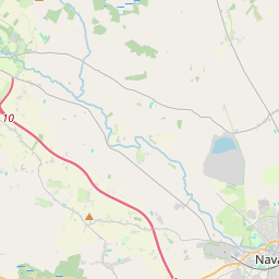
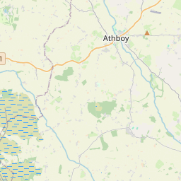
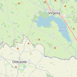
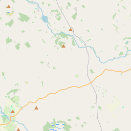


Leaflet | Map data © OpenStreetMap contributors
Area
Burry has an area of 14.9 km² / 3,685.6 acres / 5.8 square miles.
Townlands
There are 14 townlands that we know about in . This represents 100% of all the area in .
- Balgeeth 177 A, 1 R, 38 P
- Balrath Demesne 1062 A, 1 R, 19 P
- Barfordstown 283 A, 1 R, 33 P
- Boolies 198 A, 2 R, 8 P
- Chapelbride 213 A, 2 R, 30 P
- Ethelstown 402 A, 1 R, 15 P
- Garistown 165 A, 1 R, 14 P
- Irishtown 86 A, 0 R, 19 P
- Pepperstown 105 A, 1 R, 4 P
- Rafeehan 53 A, 2 R, 9 P
- Rodstown 194 A, 1 R, 24 P
- Scurlockstown 388 A, 2 R, 28 P
- Springville or Danllestown 206 A, 2 R, 12 P
- Toberultan 147 A, 2 R, 27 P
 OpenStreetMap
Burry was added to OpenStreetMap on 10 Feb 2017 by Teester.
- View
- Edit