Based on data in OpenStreetMap, here is a list of townlands in the Electoral Division / ED / District Electoral Division of Clonbullogue.
Clonbullogue is in Co.
Clonbullogue is not matched up to Logainm.ie yet.
Map
It is located at 53° 15' 44" N, 7° 5' 51" W.
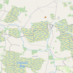
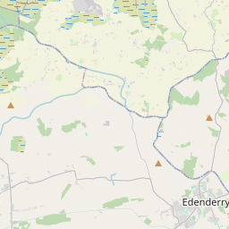
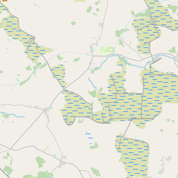
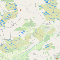
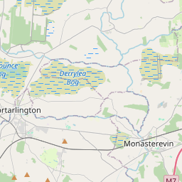
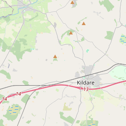
Leaflet | Map data © OpenStreetMap contributors
Area
Clonbullogue has an area of 44.8 km² / 11,066.8 acres / 17.3 square miles.
Townlands
There are 16 townlands that we know about in . This represents 100% of all the area in .
- Ballydermot 883 A, 0 R, 27 P
- Ballygarrett 125 A, 1 R, 4 P
- Clonad 896 A, 2 R, 1 P
- Clonavoe 1814 A, 1 R, 33 P
- Clonbrown 1103 A, 3 R, 6 P
- Clonbulloge 521 A, 0 R, 19 P
- Cloncant 978 A, 0 R, 19 P
- Cloncreen 1825 A, 3 R, 2 P
- Clongarret 822 A, 0 R, 11 P
- Clonkeen 109 A, 0 R, 27 P
- Clonmel 686 A, 3 R, 14 P
- Clonroosk Big 160 A, 0 R, 12 P
- Clonroosk Little 110 A, 2 R, 37 P
- Colgagh 316 A, 2 R, 9 P
- Coolygagan 417 A, 2 R, 1 P
- Derrymore 295 A, 2 R, 18 P
 OpenStreetMap
Clonbullogue was added to OpenStreetMap on 5 Jan 2015 by Teester.
- View
- Edit