Townlands.ie provides several maps based on townlands. In accordance with the current update process, it is updated once per day.
When were townlands mapped


Leaflet | Map data © OpenStreetMap contributors
Legend: Today or Yesterday Last 3 days Last 4 days Last 5 days Last 6 days Last 7 days Last 30 days Last 6 months Older
Who has mapped townlands


Leaflet | Map data © OpenStreetMap contributors
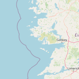
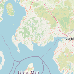
Land not in any county
This map shows land that is not in any county. It is available in JOSM preset images as "OSMIE T.ie Land not in Counties". If you would like to use it in your own application, the tile URL is
httpsn://www.townlands.ie/tiles/not_counties/{z}/{x}/{y}.png


Leaflet | Map data © OpenStreetMap contributors
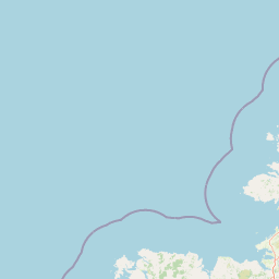
Land not in any Barony


Leaflet | Map data © OpenStreetMap contributors
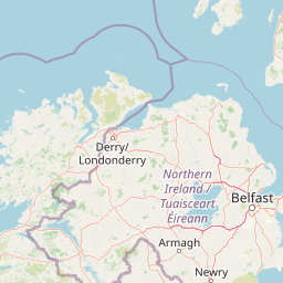
Land not in any Civil Parishes


Leaflet | Map data © OpenStreetMap contributors
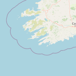
Land not in any EDs


Leaflet | Map data © OpenStreetMap contributors
Land not in any Townlands


Leaflet | Map data © OpenStreetMap contributors