Based on data in OpenStreetMap, here is a list of townlands in the Electoral Division / ED / District Electoral Division of Dromard East.
Dromard East is in Co.
Dromard East is not matched up to Logainm.ie yet.
Map
It is located at 54° 13' 0" N, 8° 37' 58" W.
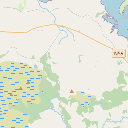
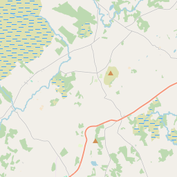
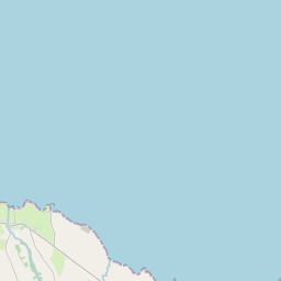
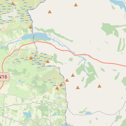
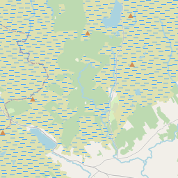
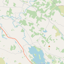
Leaflet | Map data © OpenStreetMap contributors
Area
Dromard East has an area of 12.9 km² / 3,179.5 acres / 5.0 square miles.
Townlands
There are 14 townlands that we know about in . This represents 100% of all the area in .
- Altanelvick 680 A, 3 R, 18 P
- Ballinlig 296 A, 2 R, 15 P
- Barnabrack 153 A, 1 R, 31 P
- Carrowkeel 150 A, 0 R, 27 P
- Carrownacreevy 161 A, 0 R, 27 P
- Cloonakeemoge 150 A, 2 R, 26 P
- Derinch Island 89 A, 3 R, 17 P
- Lahanacappul Island 0 A, 2 R, 25 P
- Lismacbryan 318 A, 0 R, 5 P
- Lisnarawer 195 A, 1 R, 26 P
- Loughannacrannoge 44 A, 3 R, 22 P
- Lugbaun 382 A, 2 R, 18 P
- Tanrego East 272 A, 1 R, 10 P
- Tanrego West 282 A, 3 R, 9 P
 OpenStreetMap
Dromard East was added to OpenStreetMap on 17 Aug 2015 by NoelB.
- View
- Edit