Based on data in OpenStreetMap, here is a list of townlands in the Electoral Division / ED / District Electoral Division of Birdhill.
Birdhill is in Co.
Birdhill is not matched up to Logainm.ie yet.
Map
It is located at 52° 46' 2" N, 8° 25' 5" W.
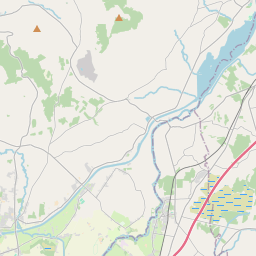

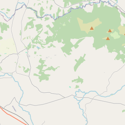
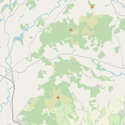
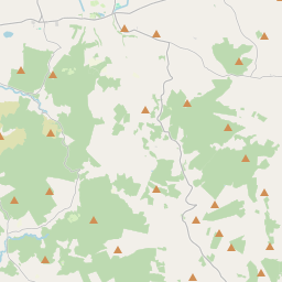
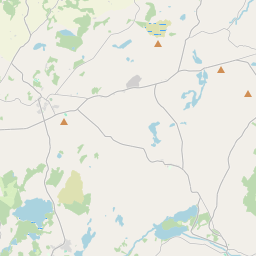
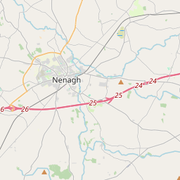
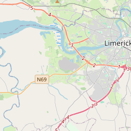
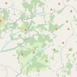
Leaflet | Map data © OpenStreetMap contributors
Area
Birdhill has an area of 23.2 km² / 5,727.5 acres / 8.9 square miles.
Townlands
There are 14 townlands that we know about in . This represents 97.6% of all the area in .
- Ballynahinch 485 A, 2 R, 3 P
- Birdhill 1909 A, 0 R, 1 P
- Cappanakeady 373 A, 3 R, 31 P
- Coolderry 52 A, 0 R, 5 P
- Garraun 674 A, 0 R, 2 P
- Gortybrigane 296 A, 3 R, 36 P
- Greenhills 196 A, 3 R, 32 P
- Kilmastulla 373 A, 0 R, 0 P
- Lackenavea (Dunally) 235 A, 2 R, 21 P
- Lackenavea (Egremont) 275 A, 0 R, 6 P
- Pollagh 96 A, 0 R, 25 P
- Rossfinch 402 A, 0 R, 11 P
- Shanbally 81 A, 0 R, 16 P
- Thornhill 138 A, 1 R, 11 P
 OpenStreetMap
Birdhill was added to OpenStreetMap on 8 Dec 2016 by Teester.
- View
- Edit