Based on data in OpenStreetMap, here is a list of townlands in the Electoral Division / ED / District Electoral Division of Caher.
Caher is in Co.
Caher is not matched up to Logainm.ie yet.
Map
It is located at 52° 21' 31" N, 7° 53' 58" W.
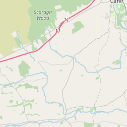
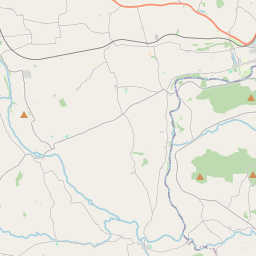
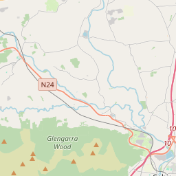

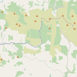
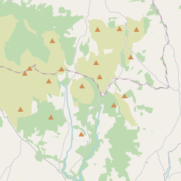
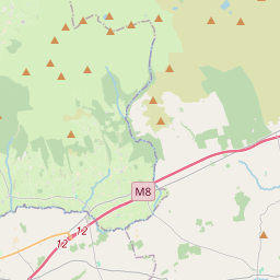
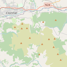
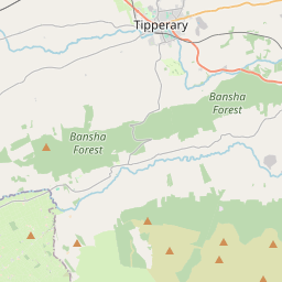
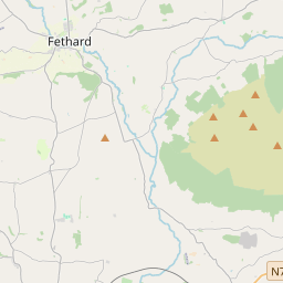
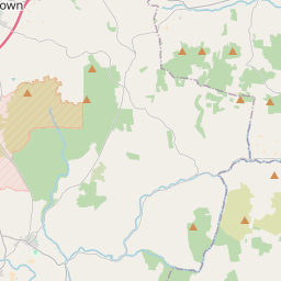
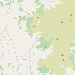
Leaflet | Map data © OpenStreetMap contributors
Area
Caher has an area of 12.0 km² / 2,961.8 acres / 4.6 square miles.
Townlands
There are 13 townlands that we know about in . This represents 100% of all the area in .
- Ballymacadam (Austin) 2 A, 0 R, 22 P
- Ballymacadam East 64 A, 2 R, 8 P
- Ballymacadam West 466 A, 2 R, 1 P
- Farrannagark 57 A, 2 R, 20 P
- Garnavilla 881 A, 0 R, 11 P
- Grange Beg 62 A, 1 R, 11 P
- Grange More 105 A, 2 R, 38 P
- Killeenbutler 247 A, 0 R, 3 P
- Killeigh 158 A, 2 R, 32 P
- Lissakyle 75 A, 3 R, 23 P
- Monaraha 163 A, 0 R, 16 P
- Newtownadam 326 A, 3 R, 34 P
- Townparks 350 A, 0 R, 28 P
 OpenStreetMap
Caher was added to OpenStreetMap on 13 Dec 2016 by Teester.
- View
- Edit