Based on data in OpenStreetMap, here is a list of townlands in the Electoral Division / ED / District Electoral Division of Curraheen.
Curraheen is in Co.
Curraheen is not matched up to Logainm.ie yet.
Map
It is located at 52° 39' 15" N, 8° 6' 46" W.
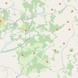

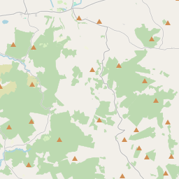
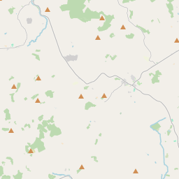
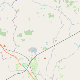
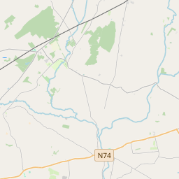
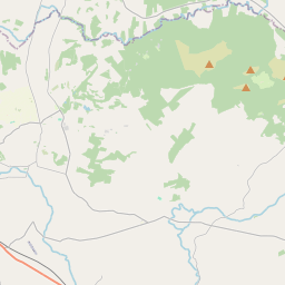

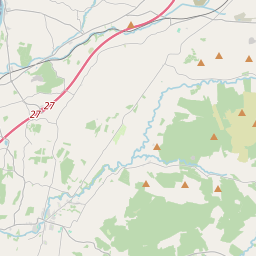
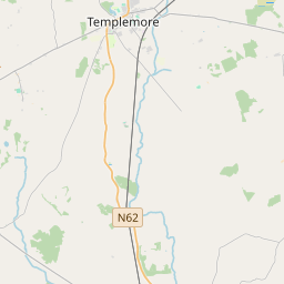
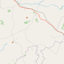
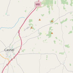
Leaflet | Map data © OpenStreetMap contributors
Area
Curraheen has an area of 23.6 km² / 5,839.3 acres / 9.1 square miles.
Townlands
There are 15 townlands that we know about in . This represents 100% of all the area in .
- Aughvallydeag 276 A, 0 R, 29 P
- Blackstairs 208 A, 1 R, 10 P
- Boolanunane 338 A, 3 R, 12 P
- Clonmurragha 301 A, 3 R, 16 P
- Cummer Beg 498 A, 2 R, 19 P
- Cummer More 772 A, 1 R, 9 P
- Curraheen 637 A, 2 R, 21 P
- Gortmahonoge 448 A, 0 R, 14 P
- Inchivara 271 A, 1 R, 22 P
- Knockduff 206 A, 2 R, 1 P
- Losset 323 A, 1 R, 36 P
- Piperhill 385 A, 0 R, 32 P
- Reafadda 844 A, 2 R, 33 P
- Reagoulane 176 A, 2 R, 34 P
- Tooreen 149 A, 1 R, 23 P
 OpenStreetMap
Curraheen was added to OpenStreetMap on 13 Dec 2016 by Teester.
- View
- Edit