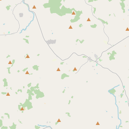
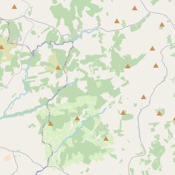
Based on data in OpenStreetMap, here is a list of townlands in the Electoral Division / ED / District Electoral Division of Gortkelly.
Gortkelly is in Co.
Gortkelly is not matched up to Logainm.ie yet.
Map
It is located at 52° 41' 53" N, 7° 58' 45" W.


Leaflet | Map data © OpenStreetMap contributors
Area
Gortkelly has an area of 27.6 km² / 6,825.9 acres / 10.7 square miles.
Townlands
There are 37 townlands that we know about in . This represents 100% of all the area in .
- Allengort 102 A, 0 R, 38 P
- Atshanboe (Cahill) 154 A, 3 R, 12 P
- Atshanboe (Laundery) 332 A, 3 R, 27 P
- Ballyboy 527 A, 0 R, 22 P
- Cappaclogh 65 A, 0 R, 5 P
- Coolcormack 79 A, 3 R, 16 P
- Coolderry 152 A, 2 R, 32 P
- Cottage 9 A, 3 R, 12 P
- Cottage 39 A, 1 R, 32 P
- Dogstown 19 A, 3 R, 0 P
- Drumminagower 15 A, 1 R, 20 P
- Drumminphilip 70 A, 2 R, 4 P
- Finnahy 830 A, 2 R, 1 P
- Goldengrove 100 A, 0 R, 22 P
- Gorteenadiha 30 A, 1 R, 33 P
- Gortkelly 439 A, 2 R, 0 P
- Gortnahalla 355 A, 1 R, 31 P
- Gortnaskehy 228 A, 3 R, 9 P
- Graceland 27 A, 2 R, 22 P
- Kileroe 109 A, 3 R, 16 P
- Killinleigh 58 A, 1 R, 26 P
- Knockalough Commons 467 A, 3 R, 22 P
- Knockane 202 A, 2 R, 21 P
- Knockaneroe 34 A, 0 R, 33 P
- Knockmehill 212 A, 2 R, 18 P
- Knockmehill East 18 A, 1 R, 8 P
- Lackandarra 15 A, 0 R, 23 P
- Moher 589 A, 3 R, 17 P
- Mountcatherine 50 A, 1 R, 6 P
- Newtown 62 A, 2 R, 20 P
- Paddock 37 A, 2 R, 25 P
- Pallas Lower 317 A, 2 R, 39 P
- Pallas Upper 363 A, 2 R, 30 P
- Roskeen 377 A, 2 R, 6 P
- Roskeen Little 8 A, 3 R, 37 P
- Roskeen South 4 A, 3 R, 5 P
- Rossoulty 311 A, 1 R, 37 P
 OpenStreetMap
Gortkelly was added to OpenStreetMap on 9 Dec 2016 by Teester.
- View
- Edit

 JOSM
JOSM iD
iD