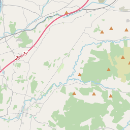
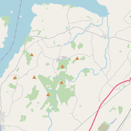
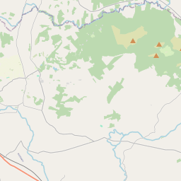
Based on data in OpenStreetMap, here is a list of townlands in the Electoral Division / ED / District Electoral Division of Kilnarath.
Kilnarath is in Co.
Kilnarath is not matched up to Logainm.ie yet.
Map
It is located at 52° 43' 24" N, 8° 18' 31" W.


Leaflet | Map data © OpenStreetMap contributors
Area
Kilnarath has an area of 32.7 km² / 8,078.8 acres / 12.6 square miles.
Townlands
There are 17 townlands that we know about in . This represents 100% of all the area in .
- Ahane 45 A, 1 R, 3 P
- Bleanbeg 379 A, 0 R, 27 P
- Bunkimalta 1458 A, 1 R, 5 P
- Castlewaller 2416 A, 3 R, 8 P
- Fiddane 494 A, 2 R, 30 P
- Glencroe 254 A, 0 R, 22 P
- Gortacoula 129 A, 3 R, 34 P
- Gortnaskehy 255 A, 1 R, 24 P
- Killeen 506 A, 3 R, 24 P
- Knockacappul 405 A, 3 R, 20 P
- Knockfune 792 A, 0 R, 15 P
- Knocknamoheragh 360 A, 0 R, 16 P
- Mackney (Bourke) 43 A, 1 R, 27 P
- Mackney (O'Brien) 31 A, 1 R, 28 P
- Newross 298 A, 0 R, 6 P
- Rockvale 66 A, 2 R, 39 P
- Toorataggart 140 A, 1 R, 36 P
 OpenStreetMap
Kilnarath was added to OpenStreetMap on 8 Dec 2016 by Teester.
- View
- Edit

 JOSM
JOSM iD
iD