Based on data in OpenStreetMap, here is a list of townlands in the Electoral Division / ED / District Electoral Division of Littleton.
Littleton is in Co.
Littleton is not matched up to Logainm.ie yet.
Map
It is located at 52° 38' 32" N, 7° 43' 44" W.

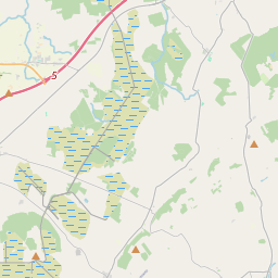


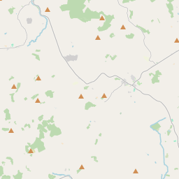
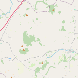
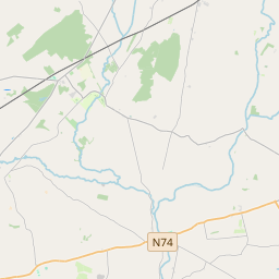
Leaflet | Map data © OpenStreetMap contributors
Area
Littleton has an area of 26.6 km² / 6,564.3 acres / 10.3 square miles.
Townlands
There are 16 townlands that we know about in . This represents 100% of all the area in .
- Ballybeg 1700 A, 2 R, 8 P
- Ballydavid 834 A, 2 R, 31 P
- Ballyerk 233 A, 1 R, 7 P
- Ballymurreen 339 A, 0 R, 7 P
- Ballynamona 192 A, 2 R, 5 P
- Coolcroo 193 A, 1 R, 35 P
- Derryhogan 971 A, 1 R, 21 P
- Galbooly 446 A, 0 R, 4 P
- Galbooly Little 243 A, 0 R, 27 P
- Lahardan Lower 260 A, 0 R, 17 P
- Lahardan Upper 275 A, 0 R, 13 P
- Monaraheen 181 A, 2 R, 36 P
- Newtown 187 A, 2 R, 26 P
- Rahinch 183 A, 0 R, 27 P
- Rathcunikeen 159 A, 1 R, 25 P
- Shanacloon 162 A, 3 R, 36 P
 OpenStreetMap
Littleton was added to OpenStreetMap on 13 Dec 2016 by Teester.
- View
- Edit