Based on data in OpenStreetMap, here is a list of townlands in the Electoral Division / ED / District Electoral Division of Templeneiry.
Templeneiry is in Co.
Templeneiry is not matched up to Logainm.ie yet.
Map
It is located at 52° 24' 11" N, 8° 5' 22" W.
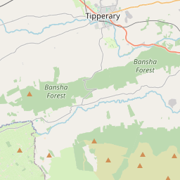
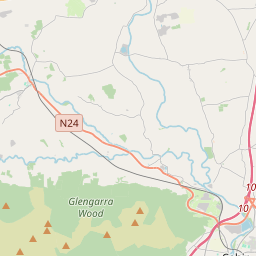
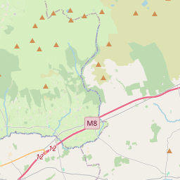
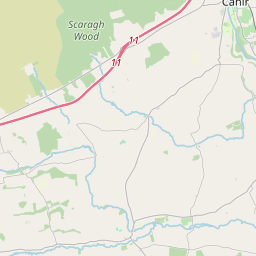
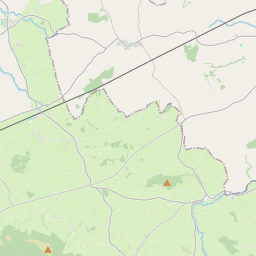

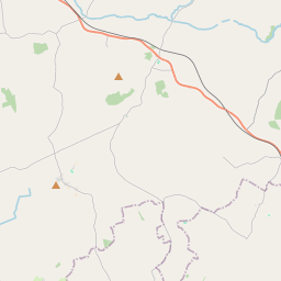
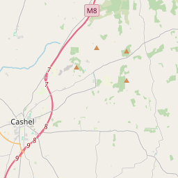
Leaflet | Map data © OpenStreetMap contributors
Area
Templeneiry has an area of 40.9 km² / 10,113.4 acres / 15.8 square miles.
Townlands
There are 16 townlands that we know about in . This represents 100% of all the area in .
- Ardane 2310 A, 0 R, 13 P
- Ashgrove 302 A, 0 R, 3 P
- Ballydavid 1689 A, 3 R, 10 P
- Ballyviggane 90 A, 1 R, 19 P
- Booleen 204 A, 0 R, 37 P
- Clashoquirk 247 A, 3 R, 14 P
- Clohernagh 506 A, 0 R, 4 P
- Coolgort 109 A, 1 R, 34 P
- Coologe 76 A, 0 R, 16 P
- Curraghavoke 643 A, 1 R, 34 P
- Dromomarka 353 A, 3 R, 15 P
- Dromomarka (College) 139 A, 1 R, 16 P
- Lisnagaul 590 A, 0 R, 31 P
- Montanavoe 91 A, 0 R, 33 P
- Rossadrehid 2686 A, 0 R, 12 P
- Shinganagh 73 A, 1 R, 11 P
 OpenStreetMap
Templeneiry was added to OpenStreetMap on 14 Dec 2016 by Teester.
- View
- Edit