Based on data in OpenStreetMap, here is a list of townlands in the Electoral Division / ED / District Electoral Division of Aghintain.
Aghintain is in Co.
Aghintain is not matched up to Logainm.ie yet.
Map
It is located at 54° 25' 36" N, 7° 15' 42" W.
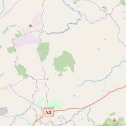
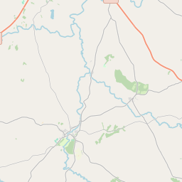
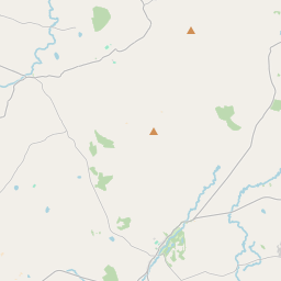
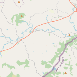
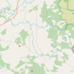
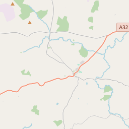
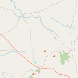
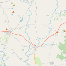
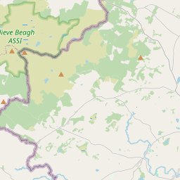
Leaflet | Map data © OpenStreetMap contributors
Area
Aghintain has an area of 22.6 km² / 5,588.8 acres / 8.7 square miles.
Townlands
There are 16 townlands that we know about in . This represents 100% of all the area in .
- Aghintain 128 A, 1 R, 38 P
- Ballyness 787 A, 2 R, 37 P
- Beigh Glebe 246 A, 1 R, 33 P
- Bolies 423 A, 3 R, 17 P
- Cavanacark 410 A, 0 R, 22 P
- Donaghmoyne 118 A, 2 R, 7 P
- Knocknacarney 183 A, 1 R, 7 P
- Lislane 903 A, 3 R, 37 P
- Lungs 215 A, 3 R, 14 P
- Mallabeny 335 A, 1 R, 5 P
- Mount Stewart 633 A, 2 R, 29 P
- Prolusk 239 A, 2 R, 8 P
- Shantonagh 346 A, 2 R, 14 P
- Syunshin 289 A, 2 R, 23 P
- Townagh 85 A, 1 R, 4 P
- Tullyquin 240 A, 1 R, 31 P
 OpenStreetMap
Aghintain was added to OpenStreetMap on 2 Mar 2021 by b-unicycling.
- View
- Edit