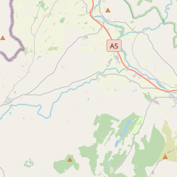
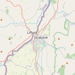
Based on data in OpenStreetMap, here is a list of townlands in the Electoral Division / ED / District Electoral Division of Attaclady.
Attaclady is in Co.
Attaclady is not matched up to Logainm.ie yet.
Map
It is located at 54° 45' 27" N, 7° 29' 8" W.


Leaflet | Map data © OpenStreetMap contributors
Area
Attaclady has an area of 23.1 km² / 5,708.6 acres / 8.9 square miles.
Townlands
There are 22 townlands that we know about in . This represents 100% of all the area in .
- Ballought 247 A, 0 R, 37 P
- Breen 343 A, 1 R, 16 P
- Clady Blair 88 A, 2 R, 14 P
- Clady Haliday 134 A, 2 R, 30 P
- Clady Hood 150 A, 1 R, 7 P
- Clady Johnston 127 A, 3 R, 18 P
- Concess 234 A, 2 R, 1 P
- Drumeagle 149 A, 0 R, 2 P
- Glentimon 316 A, 3 R, 1 P
- Gortlogher 309 A, 0 R, 39 P
- Kinkit 316 A, 0 R, 36 P
- Liggartown 264 A, 1 R, 17 P
- Liscreevaghan or Clady Sproul 114 A, 0 R, 19 P
- Magheragar 354 A, 0 R, 26 P
- Mulvin 226 A, 3 R, 35 P
- Peacockbank 153 A, 3 R, 9 P
- Seein 455 A, 0 R, 37 P
- Stonewalls 141 A, 1 R, 11 P
- Stoneyfalls 180 A, 3 R, 13 P
- Tullydoortans 339 A, 2 R, 22 P
- Tullywhisker 520 A, 0 R, 14 P
- Urbalreagh 540 A, 0 R, 37 P
 OpenStreetMap
Attaclady was added to OpenStreetMap on 2 Mar 2021 by b-unicycling.
- View
- Edit

 JOSM
JOSM iD
iD