Based on data in OpenStreetMap, here is a list of townlands in the Electoral Division / ED / District Electoral Division of Meenagh.
Meenagh is in Co.
Meenagh is not matched up to Logainm.ie yet.
Map
It is located at 54° 42' 20" N, 7° 41' 35" W.
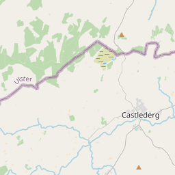
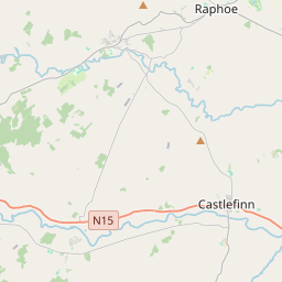
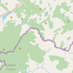
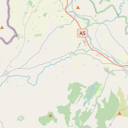
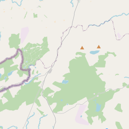
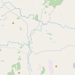
Leaflet | Map data © OpenStreetMap contributors
Area
Meenagh has an area of 27.2 km² / 6,723.4 acres / 10.5 square miles.
Townlands
There are 14 townlands that we know about in . This represents 100% of all the area in .
- Ardarver 747 A, 0 R, 12 P
- Carndreen 480 A, 2 R, 5 P
- Carnoughter 791 A, 0 R, 9 P
- Carracoghan 354 A, 3 R, 28 P
- Common 99 A, 2 R, 30 P
- Garvagh 962 A, 0 R, 4 P
- Garvagh Blane 345 A, 2 R, 22 P
- Garvagh Pullans 224 A, 0 R, 22 P
- Laghtfoggy 642 A, 0 R, 16 P
- Laghtmorris 641 A, 0 R, 23 P
- Lislaird 450 A, 3 R, 0 P
- Magheranageeragh 400 A, 2 R, 2 P
- Mullanabreen 290 A, 1 R, 21 P
- Trienamongan 293 A, 1 R, 24 P
 OpenStreetMap
Meenagh was added to OpenStreetMap on 4 Mar 2021 by b-unicycling.
- View
- Edit