Based on data in OpenStreetMap, here is a list of townlands in the Electoral Division / ED / District Electoral Division of Omagh Rural.
Omagh Rural is in Co.
Omagh Rural is not matched up to Logainm.ie yet.
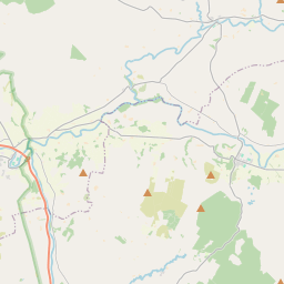
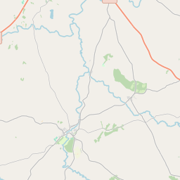
Map
It is located at 54° 36' 3" N, 7° 18' 36" W.


Leaflet | Map data © OpenStreetMap contributors
Area
Omagh Rural has an area of 13.6 km² / 3,358.6 acres / 5.2 square miles.
Townlands
There are 17 townlands that we know about in . This represents 100% of all the area in .
- Bunnynubber 158 A, 1 R, 12 P
- Conywarren 225 A, 3 R, 13 P
- Coolnagard Upper 151 A, 1 R, 37 P
- Cornarracken 39 A, 1 R, 12 P
- Creevenagh 352 A, 1 R, 19 P
- Culmore 161 A, 3 R, 33 P
- Deer Park (Mc Cormack) 119 A, 2 R, 31 P
- Dergmoney Upper 89 A, 0 R, 26 P
- Gortrush 106 A, 1 R, 21 P
- Lammy 155 A, 0 R, 37 P
- Lisanelly 281 A, 1 R, 20 P
- Mullaghmenagh Lower 127 A, 2 R, 0 P
- Mullaghmenagh Upper 229 A, 1 R, 7 P
- Mullaghmore 538 A, 0 R, 33 P
- Rylands 243 A, 3 R, 31 P
- Sedennan 182 A, 2 R, 16 P
- Straughroy 195 A, 3 R, 16 P
 OpenStreetMap
Omagh Rural was added to OpenStreetMap on 2 Mar 2021 by b-unicycling.
- View
- Edit

 JOSM
JOSM iD
iD