Based on data in OpenStreetMap, here is a list of townlands in the Electoral Division / ED / District Electoral Division of Kilmacthomas.
Kilmacthomas is in Co.
Kilmacthomas is not matched up to Logainm.ie yet.
Map
It is located at 52° 12' 38" N, 7° 25' 23" W.
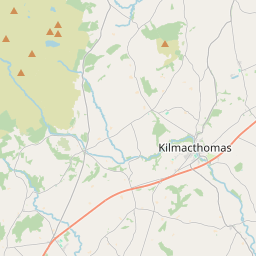
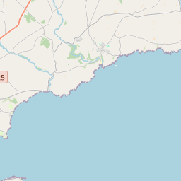
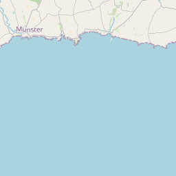
Leaflet | Map data © OpenStreetMap contributors
Area
Kilmacthomas has an area of 22.0 km² / 5,439.7 acres / 8.5 square miles.
Townlands
There are 14 townlands that we know about in . This represents 100% of all the area in .
- Ballyogarty 222 A, 1 R, 26 P
- Carrignanonshagh 139 A, 2 R, 27 P
- Cooltubbrid East 15 A, 1 R, 23 P
- Cooltubbrid West 179 A, 1 R, 32 P
- Currabaha East 289 A, 2 R, 7 P
- Currabaha West 362 A, 2 R, 10 P
- Graiguenageeha 183 A, 3 R, 29 P
- Graigueshoneen 554 A, 0 R, 22 P
- Kilmacthomas 465 A, 2 R, 8 P
- Kilnagrange 1334 A, 1 R, 34 P
- Parkeennaglogh 251 A, 2 R, 10 P
- Rathmaiden 646 A, 0 R, 8 P
- Scrahan 465 A, 2 R, 31 P
- Whitestown 329 A, 1 R, 5 P
 OpenStreetMap
Kilmacthomas was added to OpenStreetMap on 25 Nov 2016 by Teester.
- View
- Edit