Based on data in OpenStreetMap, here is a list of townlands in the Electoral Division / ED / District Electoral Division of Coolure.
Coolure is in Co.
Coolure is not matched up to Logainm.ie yet.
Map
It is located at 53° 40' 39" N, 7° 21' 2" W.
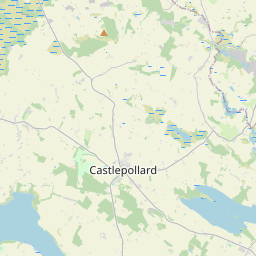

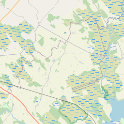
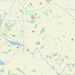
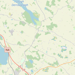
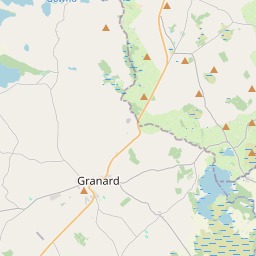
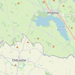
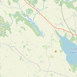

Leaflet | Map data © OpenStreetMap contributors
Area
Coolure has an area of 21.9 km² / 5,407.0 acres / 8.4 square miles.
Townlands
There are 14 townlands that we know about in . This represents 83.9% of all the area in .
- Carn 733 A, 1 R, 4 P
- Clonteens 59 A, 0 R, 34 P
- Coolure Demesne 354 A, 2 R, 23 P
- Derrya 620 A, 2 R, 4 P
- Kiltoom 547 A, 1 R, 15 P
- Knockroe 37 A, 1 R, 28 P
- Lispopple 244 A, 2 R, 29 P
- Loughanstown 121 A, 0 R, 35 P
- Newtown 129 A, 0 R, 38 P
- Nonsuch 213 A, 0 R, 23 P
- Pakenhamhall or Tullynally 507 A, 1 R, 18 P
- Portjack 125 A, 2 R, 38 P
- Tromra 612 A, 3 R, 23 P
- Williamstown 227 A, 0 R, 36 P
 OpenStreetMap
Coolure was added to OpenStreetMap on 7 Feb 2017 by Teester.
- View
- Edit