Based on data in OpenStreetMap, here is a list of townlands in the Electoral Division / ED / District Electoral Division of Mullingar Rural.
Mullingar Rural is in Co.
Mullingar Rural is not matched up to Logainm.ie yet.
Map
It is located at 53° 31' 34" N, 7° 20' 42" W.

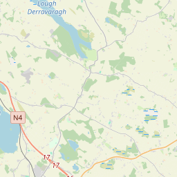
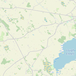
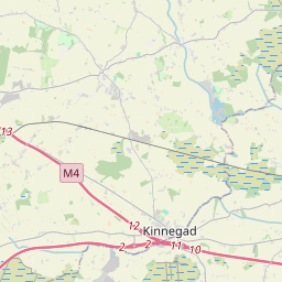
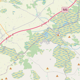
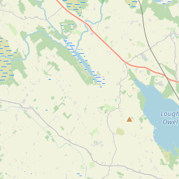

Leaflet | Map data © OpenStreetMap contributors
Area
Mullingar Rural has an area of 17.4 km² / 4,297.5 acres / 6.7 square miles.
Townlands
There are 15 townlands that we know about in . This represents 67.8% of all the area in .
- Ardivaghan 87 A, 1 R, 34 P
- Ardmore 151 A, 1 R, 0 P
- Ballagh 191 A, 0 R, 25 P
- Ballyglass 144 A, 2 R, 15 P
- Balnamona or Charlestown 95 A, 2 R, 26 P
- Boardstown 115 A, 0 R, 17 P
- Clonmore 368 A, 0 R, 39 P
- Farranfolliot 132 A, 3 R, 35 P
- Grange North 101 A, 2 R, 15 P
- Grange South 178 A, 3 R, 21 P
- Irishtown 788 A, 2 R, 38 P
- Newtown 181 A, 3 R, 30 P
- Plodstown 163 A, 3 R, 24 P
- Rathgowan or Farranshock 64 A, 0 R, 26 P
- Sarsanstown 148 A, 0 R, 25 P
 OpenStreetMap
Mullingar Rural was added to OpenStreetMap on 7 Feb 2017 by Teester.
- View
- Edit