Based on data in OpenStreetMap, here is a list of townlands in the Electoral Division / ED / District Electoral Division of The Harrow.
The Harrow is in Co.
The Harrow is not matched up to Logainm.ie yet.
Map
It is located at 52° 33' 57" N, 6° 26' 28" W.
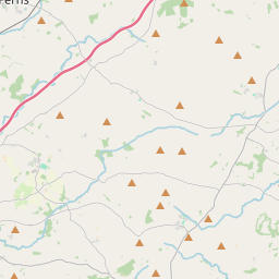
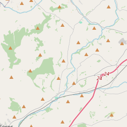
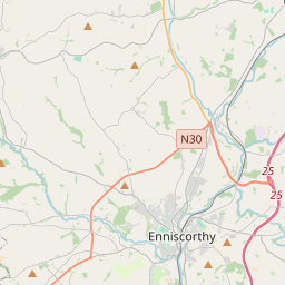
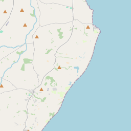
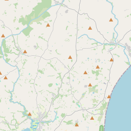
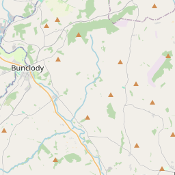

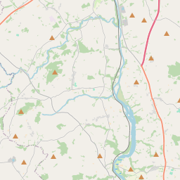
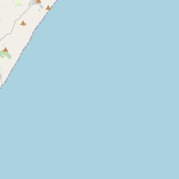
Leaflet | Map data © OpenStreetMap contributors
Area
The Harrow has an area of 15.3 km² / 3,784.4 acres / 5.9 square miles.
Townlands
There are 15 townlands that we know about in . This represents 100% of all the area in .
- Ballycarrigeen Lower 377 A, 1 R, 5 P
- Ballycarrigeen Upper 242 A, 3 R, 25 P
- Ballyhaddock 388 A, 3 R, 20 P
- Ballytracey 451 A, 1 R, 18 P
- Carrigeen 219 A, 2 R, 11 P
- Coolatore 222 A, 0 R, 26 P
- Forties 203 A, 0 R, 4 P
- Glenbaun 124 A, 0 R, 10 P
- Kilcoilshy 172 A, 0 R, 18 P
- Knockavocka 213 A, 3 R, 29 P
- Knocknaskeagh 303 A, 2 R, 26 P
- Mountgeorge 159 A, 2 R, 7 P
- Myaugh 250 A, 0 R, 8 P
- Myaugh 79 A, 1 R, 30 P
- Tobergal 376 A, 1 R, 21 P
 OpenStreetMap
The Harrow was added to OpenStreetMap on 17 Oct 2016 by Teester.
- View
- Edit