Based on data in OpenStreetMap, here is a list of townlands in the Electoral Division / ED / District Electoral Division of Cronebane.
Cronebane is in Co.
Cronebane is not matched up to Logainm.ie yet.
Map
It is located at 52° 53' 24" N, 6° 11' 56" W.
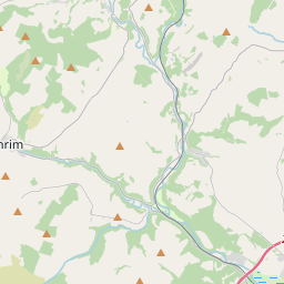
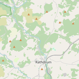
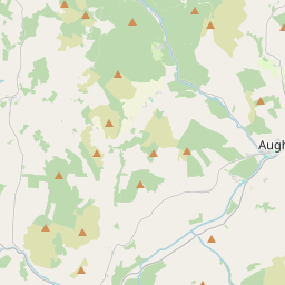
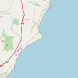
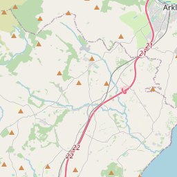
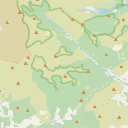
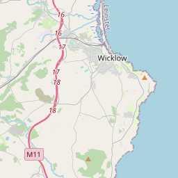
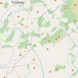
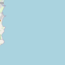
Leaflet | Map data © OpenStreetMap contributors
Area
Cronebane has an area of 13.6 km² / 3,353.8 acres / 5.2 square miles.
Townlands
There are 13 townlands that we know about in . This represents 100% of all the area in .
- Ballinabarny North 303 A, 1 R, 14 P
- Ballinabarry South 111 A, 0 R, 26 P
- Castlehoward 210 A, 0 R, 8 P
- Cherrymount 105 A, 2 R, 34 P
- Connary Lower 136 A, 1 R, 38 P
- Connary Upper 228 A, 2 R, 27 P
- Coolanearl 229 A, 0 R, 17 P
- Cronebane 155 A, 2 R, 25 P
- Kilmacoo 532 A, 1 R, 12 P
- Kilmacoo Upper 279 A, 2 R, 39 P
- Sroughmore 371 A, 1 R, 31 P
- Tigroney East 317 A, 1 R, 4 P
- Tigroney West 372 A, 3 R, 9 P
 OpenStreetMap
Cronebane was added to OpenStreetMap on 28 Sep 2016 by Teester.
- View
- Edit